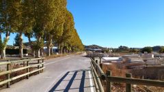
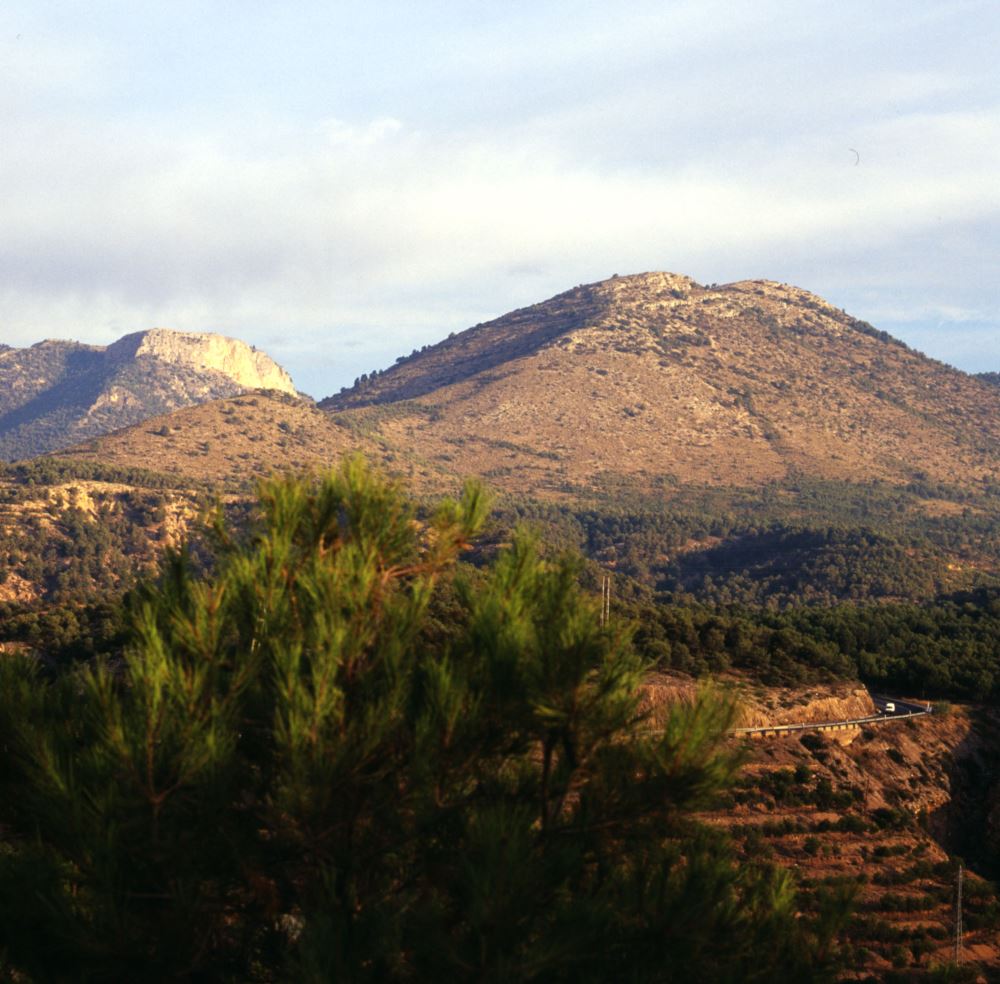
Caravaca landscape stands out for its vegetable gardens, plateaus and northern mountains. The highest peaks can be found in the north and northwest: Sierra de Mojantes (1605m), Sierra de Gavilan(1447m), Cuerda de la Serrata (1207m) and the western part of Sierra de la Puerta. There are several hills and high plateaus below 900-1200m altitude in the west and the south that represent a very complicated topography: Sierra de la Zarza, Sierra Aspera, Sierra de la Pinosa, Loma de las Yeguas, Cerro del Barranco Blanco and Sierra de las Cabras.
In the central and eastern sectors of the local area are located several high basins drained by Argos and Quipar rivers. These basins are full of Tertiary and Quaternary period materials, basically white, shape orchard of Caravaca. Numerous springs complete the local hydrography, such as Las Fuentes del Marques, La Muralla of Archivel, Ojos of Archivel, Las Tosquillas of Barranda and Mayrena.
-
Nature Park “Fuentes del Marqués”
-
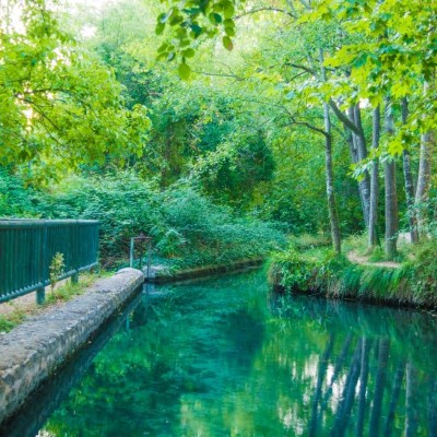
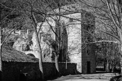
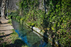
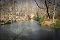
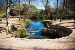
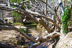
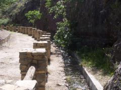
Las Fuentes del Marqués Nature Park, classified as historic site, is one of the town’s great attractions, just 2km away from the city. You can reach this landscape either using Avenida de los Andenes (by car), and then taking Camino de Mayrena, or you can take the trekking path called Camino del Huerto (on foot).
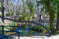
Both ways meet in “El Molinico” and from this point onwards there is a single route to the springs Las Fuentes del Marqués. They are located at the foot of Sierra del Gavilan and El Buitre, with a land area of 17.4 hectares. The particular microclimate of this area, characterised by the presence of water, grants this biotic and physical environment a special singularity, giving its great amount of animal and vegetables species in such a small area.
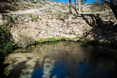
The water springs are located at the end of this large natural area and they are commonly known as sartenes (frying pans), a big and a small one, with an average flow of 320 l/s. The first reference to this place was made by the Arab geographer Al-Himyari (the XIII-XIV centuries).
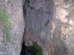
Las Cuevas del Marques (the caves), situated on a hill overlooking the springs, is an important part of the nature park of Las Fuentes. It is believed, from the ceramic materials found, that dates back to the XI Century and it may have been a place of stay for agricultural purposes, with no military attachment.
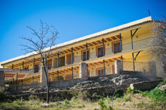
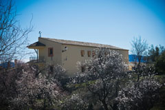
In this beauty spot, we can find a youth hostel, dating back to the XIX Century, with a capacity for 44 guests. Its location invites the visitor to carry out an array of activities such as enjoying the landscape, gastronomy, trekking, etc.
Next to the youth hostel, there is the Nature Interpretation Centre (see information about museums) situated in the “Torreon de los Templarios” (XVI Century). Given the ideal conditions of this spot, this visitor centre has been used as an environmental educational and information place, promoting the education, leisure and culture of Caravaca de la Cruz.
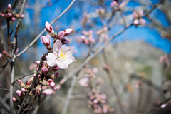
In conclusion, Las Fuentes del Marques is a natural beauty spot in which nature is fully enjoyed every season. Spring and autumn might be the most special seasons because of the light and colour explosion and the wide palette of colours of the leaves on autumn trees.
Geographical coordinates: Latitude 38.102612 Length -1.879974
-
Sierra de Mojantes
-
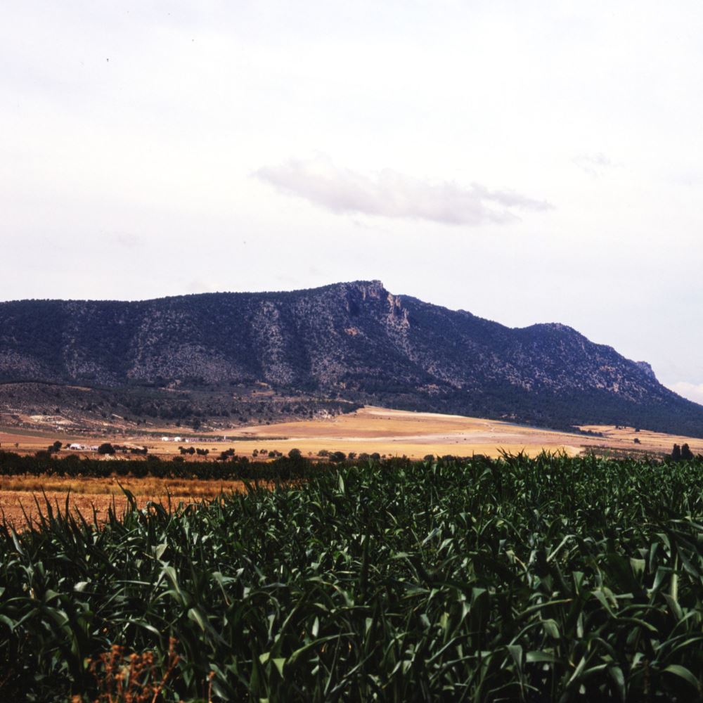 This is the highest mountain range of Caravaca, being its summit of 1615 m high. This 1483.19 hectares area is protected by SPAB (Special Protection Areas for Birds) due to, mainly, the presence of griffon vultures (Gypsfulvus).
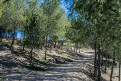
This is a place crammed full of holm oaks, pine, juniper and maple trees, and it is populated by a rich fauna in which highlights griffon vultures, peregrine falcons, owls, screech owls and Spanish goats. The vegetation is defined by woodland and kermes oaks.
It is located in front of Cuerda de la Serreta- other local mountain. Mojantes goes from 1000m above sea level of its plains until 1615m high of its geodesic vertex.
Sierra de Mojantes is accessible from Caravaca de la Cruz heading to Barranda (RM-730 road) until passing this town. Following this road to Puebla de Don Fadrique, the distinctive shape of Mojantes appears a few kilometres away on the right.
-
Peña Rubia – El Nevazo
-
 This is a vertical limestone peak that stands surrounded by a pine forest, characterised for its mountain ecosystem. These escarpments of 1306 m high are the right place to admire a fascinating landscape because of stone monoliths that provide the perfect place for mountain goats to live. Further up- in Moratalla- we can find El Buitre that stands 1427m over the sea level.
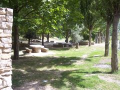
Between Peña Rubia and El Buitre is El Nevazo de arriba (high), where we can find a wide range of trees like Spanish firs, maple trees, poplars, cedars, etc. that draw a beautiful forest setting. There is a picnic area in this spot where you can spend a lovely day in the nature. It can be reach by a serviceable forest track from Caravaca de la Cruz also passing through the picnic area of Nevazo de abajo (low), with stone tables and benches, grills, a fountain and shade.
Caravaca legend has it that the giant Tomir sleeps in front of the west part of the city. In the evening, the idealists can see the outline of this giant from Camino del Huerto, being Peña Rubia his head.
The chronicles of pessimist astrologists tell that when an invading army threatens the city, the giant will wake up and liberate the city from their enemies.
-
El Gavilan – El Pinar Negro
-
It is located at the north, east and south by Rambla de la Buitreras (ravine) and Argos River among gullies, crags, hills and ravines covered by rosemary, juniper, mastic and a dense pine forest. Its central point reaches in Pinar Negro (1477m).
Sierra del Gavilan may be classified as Site of Community Importance (SCI). This area has a rich range of endemism like Thymusfunkii and other species listed in Catalogo Regional de Flora Silvestre Protegida de la Region de Murcia (Regional Catalogue of Protected Wild Flora of the Murcia Region).
Among fauna species, birds of prey like the eagle owl, the short-toed eagle, the peregrine falcon, the golden eagle, the red-billed chough the common buzzard – all but this last one included in the Annex I of Directiva de Aves, 72/409/CEE- stand out. Other mammal species as boars, foxes, martens, genets and badgers can also be found in this area.
-
Las Tosquillas
-
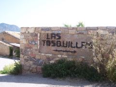
This spring, which surfaces between the rocks, is located two kilometers away from the town of Barranda.
-
More interesting nature spots
-
Los Ojos
This is a spring located near the town of Archivel.
Siete Peñones
This mountain of 1342m high is the habitat of caralluma (fleshy plant that looks like a cactus), endemic species from the southeast of the peninsula. Barranco Del Agua runs at the foothill of the mountain.
Sierra de la Zarza
Near Sierra de Mojantes, there is the best preserved kermes oak wood. An almost pure mass of holm oaks hides the floor with an undergrowth of Spanish junipers (protected species).
-
Via Verde del Noroeste (Green Route of the Northwest)
-
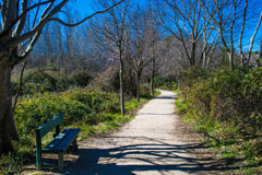
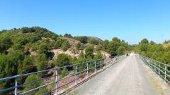
The Green Route of the Northwest constitutes one of the most important ecological corridors of the Region of Murcia, crossing part of the province and turning into one of the main tourist resources.
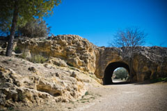
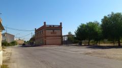
This route takes advantage of the former railway tracing between Murcia and Caravaca de la Cruz, and during the tour we can admire landscapes of great beauty and variety typical of the natural and cultural heritage of the Region of Murcia, in which are included three natural spaces inside of the Network Nature 2000 and numerous places catalogued Well of Cultural Interest (BIC). It is a 78km tour of natural way that crosses 9 cities of the province: Murcia, Molina de Segura, Alguazas, Campos del Rio, Albudeite, Mula, Bullas, Cehegin and Caravaca de la Cruz.
Along the Green Route of the Northwest, in addition, is overlapped the “Camino de la Cruz” (The route of the cross), named GR-252 (Camino del Apostol, Apostle Route), and has two paths: one begins in Orihuela and goes to Murcia, where connects to Via Verde itself, and the other one begins in Cartagena, more specifically in Darsena del Apostol Santigo, and connects to Via Verde in Murcia too, joining to Via Verde itself in Caravaca.
Via Verde supposes an important way of peregrination that adds one more tourist incentive for all the pilgrims and visitors that want to come to our city on the occasion of the Holy year, in an alternative way: walking, on horseback or on a bike.
This route is important because it puts together in a same product a long series of attractions that reinforce the tourism of the Region of Murcia in several areas such as the religious, cultural, rural, active tourism, etc.
The creation of the Network of Youth hostels of Via Verde (Red de Albergues) added value for pilgrims and travelers and contributes to improve the economy of those towns through which it passes and, as such, all the Region of Murcia. For more details: http://www.alverdes.es, phones: 968 069 202 – 868 185 427, This email address is being protected from spambots. You need JavaScript enabled to view it..


